 |
| Google Earth image showing the likely routes via Shelford (red), the Geelong-Buninyong Track (green) and Steiglitz (blue) |
Even Skene St in the Geelong suburb of Newtown was claimed as part of "the main route to the Ballarat goldfields" - presumably a reflection of the flow of traffic west towards Fyansford and across the Moorabool River to the Geelong-Buninyong Track near the future site of Gheringhap.
The one thing which does seem clear is that each claim had its own angle: the best road, the main route, the most traffic, a particular point in time. What is clear however, is that over the years, huge amounts of traffic flowed along all routes to the goldfields of Ballarat. But were all the routes equivalent?
 |
| Store drays camped on road to Ballarat, TS Gill, 1855, Image held by the National Library of Australia |
A difference of 9 miles or 15km is not so much on modern roads with fast cars, but to a digger walking the distance, this could amount to almost half a day's extra walking. If however, a dray were to become mired in Scott's Swamp, not only hours, but days could be lost, not to mention the potential for broken wheels and axles, the loss of an expensive horse or bullock or even the significant physical exertion required to unload and reload an entire dray full of supplies in order to lighten the load and escape the bog. As a result, whilst the shortest route may appeal to those on foot, road conditions may have been more important than distance to those travelling by vehicle.
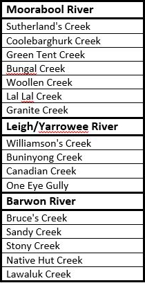
To complicate the issue further, there were any number of alternate routes and tracks connecting each of the three roads running north-south. From the Steiglitz road it was possible to cross the Moorabool River and reach the Geelong-Buninyong Track via the Melbourne-Buninyong Rd intersecting at Green Tent, Sharp's Crossing which intersected at the same point, the Steiglitz-Meredith Rd and at least one other unnamed crossing to name a few.
From the west, it was possible to cross the Leigh River at 'Narmbool' and possibly also at an informal crossing near Bamganie. Today, a number of small fords cross the Leigh on private property, presumably it was no different in the 1850s. In a time when a bad track or tricky creek-crossing saw travellers take to the bush, forging their own path, it is not surprising that informal tracks and crossings proliferated.
 |
| Google Earth image showing the interconnecting tracks between Geelong and Ballarat. Red lines show tracks marked on survey maps, blue lines show approximate routes described, yellow lines show likely connections along and between routes using modern roads, green lines show estimated routes based on surveyor's field books. Early inns along the routes are also shown. Click to enlarge |
At Steiglitz, the discovery of quartz reefs in 1855, drew traffic from Geelong and also from Ballarat, presumably making the route from Geelong to Ballarat via Steiglitz and Warrenheip more appealing at that time. This road also provided access to other nearby goldfields such as Mt Egerton, Dolly's Creek and Gordon to name a handful.
Despite all of this however, it is worth remembering that coaches - including Cobb & Co.'s famous Leviathan Coach capable of carrying 89 passengers - continued to run directly between Geelong and Ballarat along what soon became the Geelong-Buninyong Rd. After the discoveries at Steiglitz, extra services ran via Hope's Bridge over Sutherland's Creek to the town, however coaches from Steiglitz for Ballarat still travelled via Meredith, Buninyong and Magpie Gully, rather than the Eclipse Inn and Warrenheip. A comparison of distance shows the coach route to be only a mile or so shorter than travelling via Warrenheip. I cannot see any mention of a coach service via Mt Mercer throughout the gold rush period, however the Portland Bay service from Geelong did pass through Shelford, Cressy and Fiery Creek further to the west.
 |
| Cobb & Co.'s Leviathan Coach, c1862. Image held by the Victorian State Library |
There is one other factor which could also influence the decision and which could significantly alter the flow of traffic along a particular road: maps.
And some of those maps will be the topic of my next post.
Really interesting research. Thank you.
ReplyDelete